Who turns up
A construction background, then a radiometric camera pointed at the problem
Why the physics matters as much as the flying
The background is construction rather than photography, which matters more with a thermal camera than with almost any other kind of survey. A thermal image is easy to fly and easy to misread, because the sensor will happily show a warm patch caused by an afternoon of sun just as confidently as it shows one caused by a genuine gap in the insulation.
Knowing which is which comes from having spent years on site working out why a particular wall or roof detail fails the way it does, not from owning the camera. Plenty of drone operators can fly a thermal pass. Fewer will plainly tell a client that the reading on a given day was inconclusive, because a camera that finds something dramatic every single time is not a useful instrument, it is a sales tool.
The work grew out of Hembury Contracting, a Devon contracting business, where the same problem kept coming up: somebody was certain a wall or a roof was losing heat, and every way of proving it involved either an expensive energy audit or a guess. A radiometric camera on an aircraft answers the specific question without either.
Everything is flown from Exeter, which puts most of Devon inside an hour. The South West is the patch because it is home, and because the mix of solid Victorian walls, 1930s cavities, post-war estates and coastal flat roofs here covers most of the situations this kind of survey is actually used for.
On the record
Registrations, kit and cover
CAA registered
Operator ID and Flyer ID held, plus the A2 Certificate of Competency. Every flight, including the early morning and after-dark ones this survey often needs, is planned to the rules that apply to the site.
Radiometric thermal camera
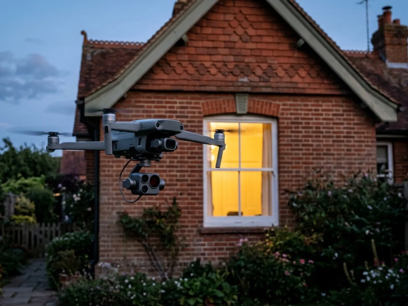
A DJI Mavic 2 Enterprise Advanced carrying a 640 by 512 radiometric sensor. Radiometric means every pixel is an actual temperature reading, not just a colour, which is what makes a genuine comparison across a roof or a wall possible.
100 megapixel visual pass
A DJI Mavic 4 Pro with a Hasselblad camera flies alongside the thermal camera on every job, so a warm or cool patch on the thermal image can be matched back to the actual roof feature or wall detail underneath it.
Insured with Coverdrone
Full commercial cover for the operation. Certificates go to managing agents, landlords and insurers as a matter of course, without anyone having to chase for them.
DJI Mavic 4 Pro
100 megapixel Hasselblad camera and 6K video, used for the visual pass that a thermal reading is checked against on every job, so a warm patch on screen can be matched back to an actual roof feature rather than read in isolation.
DJI Mavic 2 Enterprise Advanced
640 by 512 radiometric thermal camera. It measures a temperature difference at the surface, not water or lost heat directly, which is the single most important thing to understand before booking one.
How we work
Three things this business will not do
Fly on a day that will not give a reading
A thermal survey flown in the wrong conditions produces imagery that looks impressive and proves nothing. If the weather has not given the building a real temperature difference to show, the flight is moved rather than flown for the sake of the diary.
Report a colour change as a fact
A warm patch on a screen is a starting point, not a conclusion. Every finding is checked against what is actually at that location before it goes in the report, and where the picture is actually ambiguous, the report says so.
Promise a figure the camera cannot give
A thermal image cannot state exactly how much heat or money a gap is costing, or how much insulation is missing to the millimetre. Anyone offering that figure from a photograph is guessing, and it does not happen here.
See what it can and cannot see
Book a thermal survey with Thermal Drone Survey
Tell us the address and what you need looking at. Sam Hembury will come back with a fixed price and the next available slot.